Remote sensing
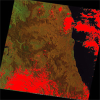
 From acquisition of images to creation of the product of your choice, we search for data, analyze images and extract the information you want and deliver them to you in a format useable to you, and following your specification if you have one, or following a standard that we can suggest in case you are short of idea. The most common remote sensing tasks that we have done are:
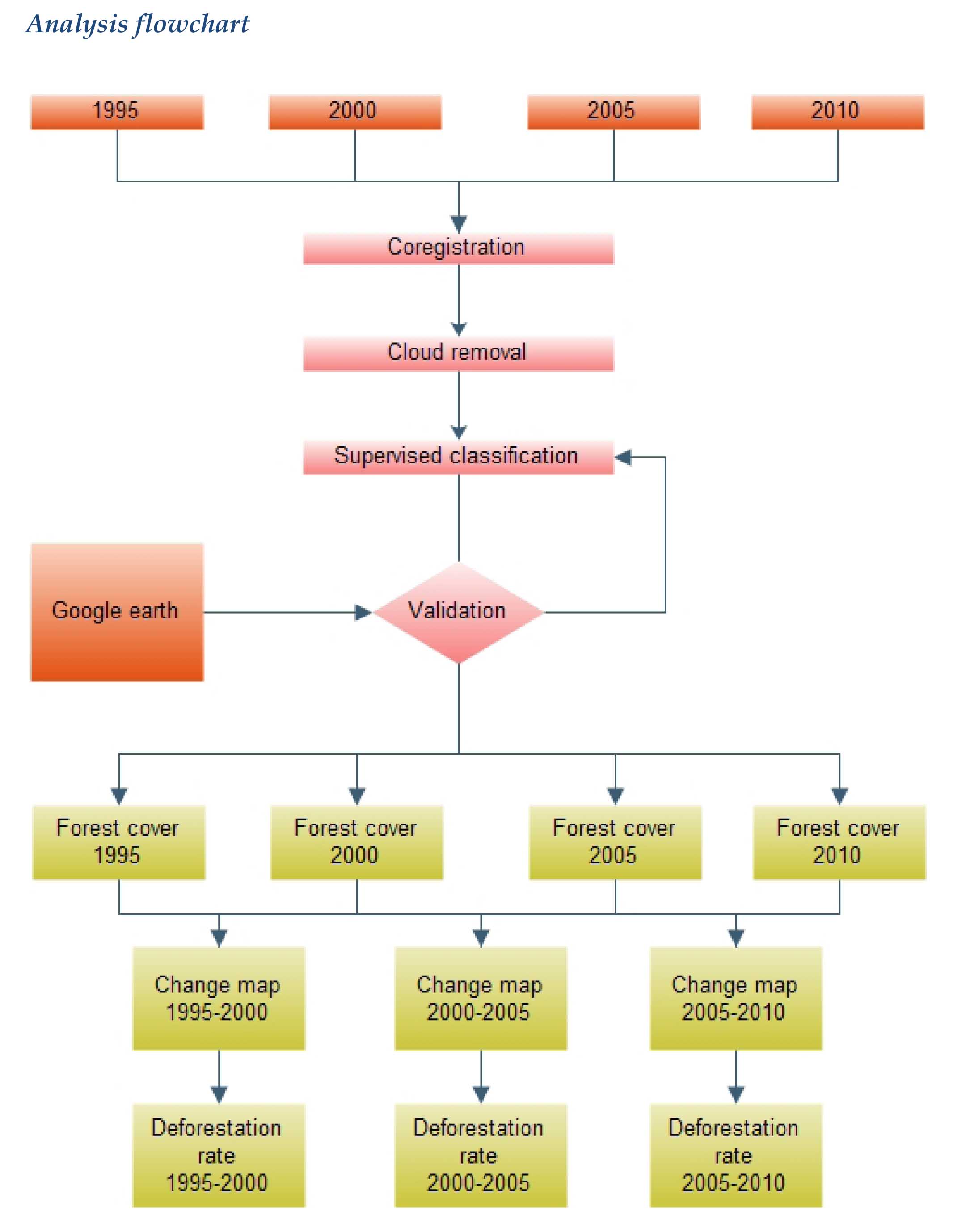
- Forest cover changes : temporal analysis of satellite images to detect change in natural forest cover
- Land use mapping : extraction of land use information from satellite images
- Wild fire detection
- Biomass estimate of forest combining satellite imagery and on the ground reference plots
GIS analysis

We do GIS analysis, from a simple information mapping to the most complex tasks such as modeling. Our team have specialization that helps making GIS analysis a breeze. In addition to the GIS specialization, our team also has at least MSc. Degrees in: Plant ecology, animal ecology, and economics. Common tasks that have been assigned to us include:
- Simple cartography and mapping of an area of interest
- Habitat suitability analysis of animal species
- Modeling corridors for species migration
- Modeling future deforestation based on historical data and socioeconomic data
Training
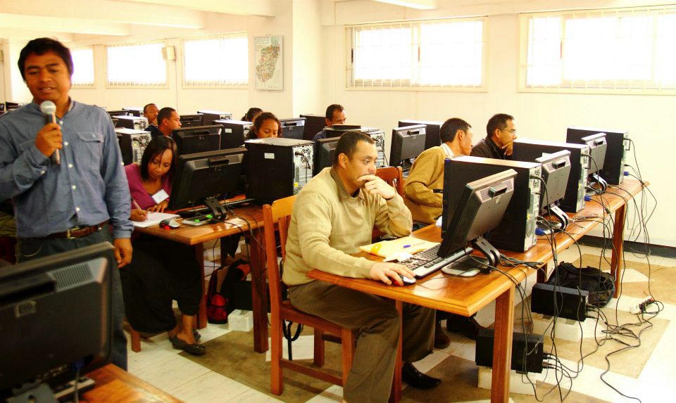
 We offer trainings at our local that can handle 10 students/trainees and we can also deliver training on location, depending on the client availability and preferences. Below are the field we offer training for:
- GIS basics
- Advanced GIS
- GIS for environmental practitioners
- ArcGIS beginner and Advanced learners
- Basics of remote sensing
- Hands on ERDAS IMAGINE
- Advanced analysis with ERDAS IMAGINE
- Hands on IDRISI
- Modeling with IDRISI